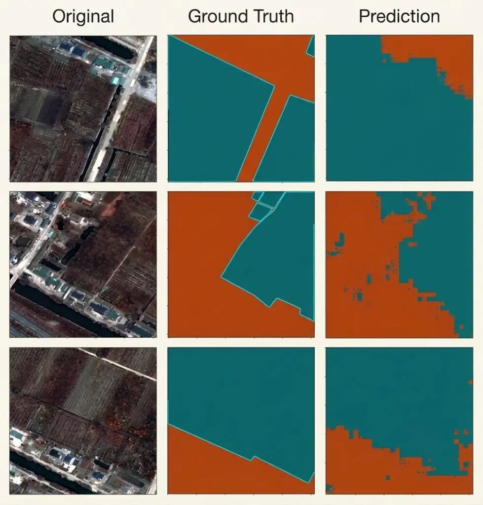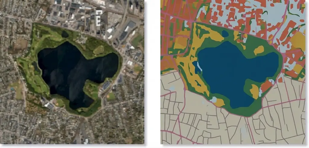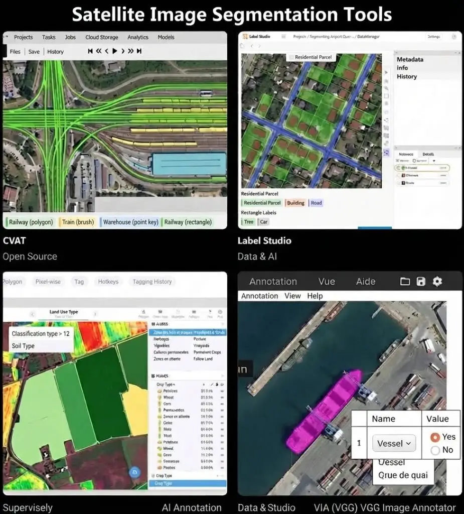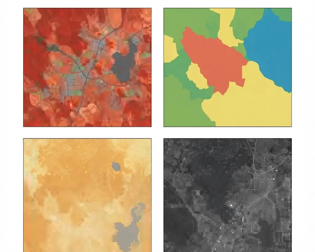
The nomenclature is the most consequential decision in a satellite image segmentation project and it is taken in a few meetings, often without its reach being measured.It defines what the corpus will be able to distinguish, what the model will be able to learn and what the product will be able to claim. It is modified only with great difficulty once annotation has begun, since a change invalidates work already produced. This article sets out the method. It extends the article on satellite image segmentation.
What a satellite image segmentation nomenclature defines
Four elements compose it and confusing them produces most of the later difficulties.The list of classes is the first, and it is the one that comes to mind.The definition of each class is the second, and it matters more. A class named forest says nothing until the minimum canopy cover, minimum area and minimum height characterising it are known.The hierarchy is the third. A multi-level nomenclature allows fine classes to be aggregated into broad ones, which permits exploitation at several scales from one corpus.And priority rules are the fourth. A surface potentially belonging to two classes, a hedgerow at a parcel edge for instance, requires the nomenclature to state which prevails.That fourth element is the most often omitted and it produces the greatest variability between annotators, each settling by intuition in the absence of a rule.Reusing or designing a nomenclature
Three strategies present themselves in satellite image segmentation.Three strategies present themselves and their consequences differ markedly.Adopting an existing reference guarantees comparability with other work, allows public corpora to be used and imposes a granularity that does not necessarily match the need. That strategy suits a result destined for an institutional arrangement.Designing a specific nomenclature answers the need exactly, forbids direct comparison and deprives the project of existing corpora. That strategy suits a specific need whose result is not intended for comparison.Establishing a mapping between the two is the intermediate route. The project defines its classes to its need and documents how they aggregate towards an established reference, which preserves both advantages at the price of additional scoping work.That third strategy is the most advisable in most cases. It costs days of thought and it preserves options the other two close permanently.Existing land cover references
Several standardised nomenclatures exist and they are worth knowing before designing one.European land cover references propose a multi-level hierarchy, running from broad categories to detailed classes, with minimum mapping units defined for each level.National references, produced by cartographic institutions, generally propose a finer granularity suited to the territory concerned.Thematic references, forestry or agricultural, propose detailed classes in their domain and group the rest coarsely.And research references, attached to public corpora, propose classes designed for machine learning rather than for institutional mapping.One observation runs across those four families. None was designed for a particular project’s need, and adopting one means accepting a purpose that is not one’s own, which is a trade-off rather than a convenience.Exhaustiveness and exclusivity
This formal requirement conditions a nomenclature’s coherence.One formal requirement conditions a nomenclature’s coherence and omitting it produces unusable corpora.Exhaustiveness requires every surface to belong to a class. A nomenclature not covering some situations leaves the annotator without instruction, and they will invent a solution that varies from person to person.Exclusivity requires a surface to belong to one class only. Two overlapping classes produce an ambiguity the priority rules must settle.Two devices guarantee those properties. A residual class, explicitly defined, collects what belongs to no other and allows the extent of what escapes the nomenclature to be measured. And an indeterminacy class, distinct from the former, collects surfaces the annotator cannot settle, which documents uncertainty rather than concealing it.That second class is rarely planned and it is valuable. Without it, a hesitating annotator settles arbitrarily, which turns a known uncertainty into an invisible error.The thresholds that define a class
Quantitative thresholds replace qualitative description in a workable nomenclature.A class is defined by quantitative thresholds rather than by a qualitative description, and this requirement is the most often neglected.Four types of threshold apply.The minimum mapping unit determines the size below which an object is not represented. It depends on resolution and on purpose, and it must be stated explicitly.Canopy or cover fraction determines the density above which a surface belongs to a class. Is ground carrying twenty per cent tree cover a forest, a heath or a wooded meadow?Characteristic dimensions apply to linear objects. Is a road three metres wide represented at ten metre resolution?And temporal thresholds apply to classes defined by use. Is a parcel uncultivated for two years fallow land or a crop in rotation?Those four types of threshold are fixed before annotation and documented, failing which each annotator will apply their own.Granularity and its cost in satellite image segmentation
The number of classes directly determines project cost and achievable performance, a relationship worth stating explicitly.Each additional class produces three effects. It increases the annotation volume required, each class needing sufficient numbers. It increases the evaluation volume, the same requirement applying to the test set. And it lowers average performance, rare classes and fine distinctions being systematically less well served.One practical consequence follows. A fifteen-class nomenclature is not an improved five-class nomenclature; it is a project three times as expensive some of whose classes will be poorly served.Two strategies mitigate that effect. Hierarchy allows a reliable result to be delivered at the aggregated level even where fine classes are uncertain. And prioritisation allows annotation effort to be concentrated on the classes carrying the decision, accepting lower quality on the others.That second strategy presupposes knowing which classes carry the decision, which returns to the scoping question the opening article set out.The difficult classes in satellite image segmentation
Five categories pose recurrent difficulties and deserve particular attention at design time.Transitional classes, peri-urban, forest edge, wetland, have no sharp limit and call for an explicit rule.Classes defined by use rather than appearance, such as distinguishing a sports field from a meadow, cannot be inferred from the image alone and require a complementary source.Rare classes pose a numbers problem only stratified sampling resolves.Seasonal classes change appearance across the year, which requires stating at what date the classification applies.And composite classes, an area mixing several occupations below pixel scale, call either for a dedicated class or for a dominance rule.Those five categories share a property. They are not resolved by a better model but by a nomenclature decision, and that decision should be taken rather than delegated implicitly to annotators.The edge case library
One document necessarily accompanies a nomenclature and it is a satellite image segmentation project’s most useful tool.Its principle is to record the ambiguous situations encountered, each with the decision taken, its justification and a visual example.Three uses follow. Annotator training, which teaches conventions through cases rather than through definitions. Arbitration in production, a case already settled not needing to be raised again. And corpus documentation, that library explaining afterwards why a given surface was classified as it was.Two practices make it effective. Building it during the pilot rather than in production, which handles most ambiguities before volume begins. And enriching it continuously, each new case settled by an expert being added rather than resolved individually.That second practice turns an isolated decision into a project rule, a mechanism the medical segmentation clusters established and which holds identically here.Testing a nomenclature before using it
One simple test reveals a nomenclature’s defects and it costs a day.It consists of having the same restricted area annotated by two people independently, then comparing the results.Three pieces of information emerge. The overall disagreement rate, which bounds achievable performance, no model being able to exceed agreement between humans. The location of disagreements, which indicates which classes or which situations are problematic. And the nature of disagreements, which distinguishes a vague definition from a genuine interpretive difficulty.That test is repeated after correcting the nomenclature, which measures the effect of the clarifications made.One practical observation applies. A high disagreement rate on a class indicates either a definition to be sharpened or a distinction the imagery does not support, and that second possibility should lead to merging the classes concerned rather than persevering.The nomenclature seen from the model
A nomenclature designed for human readers is not necessarily suited to learning.One perspective deserves adding, since a nomenclature designed for human readers is not necessarily suited to learning.Three properties help a model. Classes that are visually separable at the working resolution, a distinction requiring external knowledge being unlearnable from the image. Classes with balanced numbers, or at least sufficient numbers for the rarest. And classes that are internally coherent, a class grouping visually dissimilar situations being harder to learn than two separate classes.That third property produces a counterintuitive recommendation. Splitting a heterogeneous class into two learnable ones, then aggregating them at delivery, often works better than training on the aggregate directly.That arrangement costs nothing at annotation time provided it was anticipated, and it is impossible to apply retrospectively on a corpus annotated only at the aggregate level.Documenting a nomenclature
Six elements make documentation usable and their absence makes a corpus hard to reuse.The list of classes with their code and label.The definition of each class with its quantitative thresholds.The hierarchy and the aggregation rules.The priority rules in case of overlap.The mapping to an established reference where one exists.And the edge case library with its examples.Those six run to a few pages and they are part of the value delivered with a corpus, the cost article having shown an undocumented corpus is not reused.Imposed nomenclatures in satellite image segmentation
One situation deserves separate treatment because it removes most of the freedom described above.A client or a regulatory framework may impose a nomenclature, which happens frequently in institutional and agricultural work.Three consequences follow. The design work becomes an interpretation work, the imposed definitions generally being less precise than production requires. The edge case library becomes more important rather than less, since it records how the imposed definitions were applied. And the disagreement measurement becomes indispensable, an imposed nomenclature having been designed for another context and possibly proving unworkable in this one.One practical recommendation follows. Document the interpretations made rather than presenting them as obvious, since a later reader will not know whether a choice came from the imposed reference or from the team, and that distinction matters when the result is questioned.Negotiating a nomenclature with a client
This conversation determines a satellite image segmentation project’s cost.One commercial observation deserves stating, since this conversation determines a project’s cost.A client generally arrives with a class list drawn from their operational vocabulary rather than from a mapping requirement.Four questions turn that list into a workable nomenclature. What decision does each class inform, which reveals the ones that do not matter. At what resolution must each be distinguishable, which eliminates those the imagery cannot support. What quantitative threshold defines each, which is the question clients have rarely considered. And which classes may be merged if the disagreement test shows them inseparable, which is worth agreeing before rather than after.That fourth question is the most useful and the least asked. Agreeing in advance that an unworkable distinction will be merged converts a later dispute into an anticipated decision.What a satellite image segmentation nomenclature determines
One cross-cutting observation deserves closing on, since it explains why this decision merits the attention it rarely receives.The nomenclature determines what the corpus can distinguish, therefore what the model can learn, therefore what the product can claim.It determines the cost, through the number of classes and their difficulty.It determines comparability, a bespoke nomenclature permanently isolating the work produced.And it determines reusability, a corpus whose classes answer a narrow purpose not serving a second project.Those four determinations are settled upstream, in a few meetings, and they commit the whole project, which justifies devoting a time to them disproportionate to their apparent simplicity.The temporal dimension of a nomenclature
This dimension is regularly omitted in satellite image segmentation projects.One dimension is regularly omitted and it invalidates corpora once discovered.A land cover class describes a state at a date. Three questions follow that are rarely settled explicitly.At what date does the classification apply. An annotation produced from a summer image describes summer, and applying it to a winter image produces a systematic error on every seasonal class.What tolerance window is accepted. A corpus mixing acquisitions across three months treats as identical situations that differ, which introduces variability nothing in the annotations reveals.And how is change handled. A parcel cultivated at one date and bare at another is not an error; it is a change, and a nomenclature not distinguishing state from change cannot express it.Two arrangements address those questions. Attaching a date to each annotated unit rather than to the corpus as a whole, which allows temporal filtering later. And, where the project concerns change, defining transition classes explicitly rather than deriving them by comparing two independent classifications, which the errors article showed compounds the error of both.Evolving a nomenclature
This situation arises in every long-running satellite image segmentation project.One situation deserves treating because it arises in every long-running project.A need changes, a client adds a class, or a distinction proves unworkable. Three options exist and their costs differ by an order of magnitude.Splitting an existing class into two requires re-annotating only the surfaces of that class, which is bounded and often affordable.Merging two classes costs nothing at all, since aggregation is applied at delivery and the finer information is retained.And changing a boundary convention or a threshold requires re-annotating everything, since it affects every class and every surface.That gradation produces a design recommendation. Where uncertain, annotate finer than needed and aggregate at delivery, since splitting later is expensive and merging later is free. That single principle prevents most nomenclature rework.Common mistakes
These failures recur often enough that naming them is usually enough to avoid them.- Defining classes without quantitative thresholds.
- Omitting priority rules for overlap.
- Providing neither a residual class nor an indeterminacy class.
- Multiplying classes without measuring the effect on cost and performance.
- Adopting an existing reference without examining its fit.
- Designing a bespoke nomenclature without documenting a mapping.
- Building the edge case library during production.
- Not testing the nomenclature by double annotation before launch.
- Persevering with a distinction the imagery does not support.
- Changing the nomenclature after annotation has begun.
- Presenting an interpretation of an imposed reference as obvious.
- Training on an aggregate class that groups visually dissimilar situations.