The tooling of a satellite image segmentation project divides into four distinct families, and confusing them produces unsuitable choices. Software excellent for annotating can be unusable for processing, and the reverse is equally true.
This article describes those four families, what distinguishes a geospatial tool from an ordinary vision tool, and the criteria for choosing. It extends the article on the cost of satellite image segmentation.
The four families of tool
Separating them avoids the principal misunderstanding in satellite image segmentation. Geographic information systems manipulate spatial data, display layers, perform analyses and produce maps. They are the natural working environment of geospatial work and they are not designed for annotation at scale. Annotation platforms organise production, distribute tasks, track progress and manage quality control. They are designed for volume and most ignore the geospatial dimension entirely. Processing libraries read, transform and write the data. They are the technical layer everything rests on and they have no interface. And training environments design, train and evaluate models, with a growing share of geospatial-specific functions. A complete satellite image segmentation project mobilises all four, and the friction point generally sits between the second and the others, a general-purpose annotation platform not preserving geospatial properties.What a geospatial tool must handle
Six requirements distinguish it from an ordinary vision tool. They condition fitness for satellite image segmentation. Handling georeferencing, each pixel corresponding to a terrestrial position and that information having to be preserved at every stage. Handling projections, one area being representable in several coordinate systems whose conversion introduces discrepancies. Reading large images, a satellite scene far exceeding available memory and needing to be read by windows rather than loaded entirely. Supporting multiple bands, a satellite image carrying more than three channels and often values beyond the usual display range. Configurable colour composition, the display having to permit choosing which bands are shown and under what stretch. And overlaying vector layers, an annotation needing to be comparable against an existing reference. One important observation runs across those six requirements. A tool missing even one imposes a workaround, and the accumulation of workarounds is the principal hidden cost of unsuitable tooling.The formats worth knowing
Not knowing them produces avoidable difficulties. A few formats structure this field. The standard georeferenced raster format carries imagery and class masks, with projection and extent metadata. Its variant optimised for remote access permits reading a portion of an image without downloading the whole, which the Copernicus article in the previous series showed decisive for a project’s economics. Vector formats carry annotations as polygons with their attributes, and the recent open format is progressively replacing the historical one whose limitations are numerous. And catalogue formats describe image collections in a standardised way, permitting several sources to be queried identically. One practical recommendation follows. Favouring raster formats optimised for remote access and recent vector formats avoids costly conversions and preserves properties older formats lose.Annotation, the weak point of the tooling
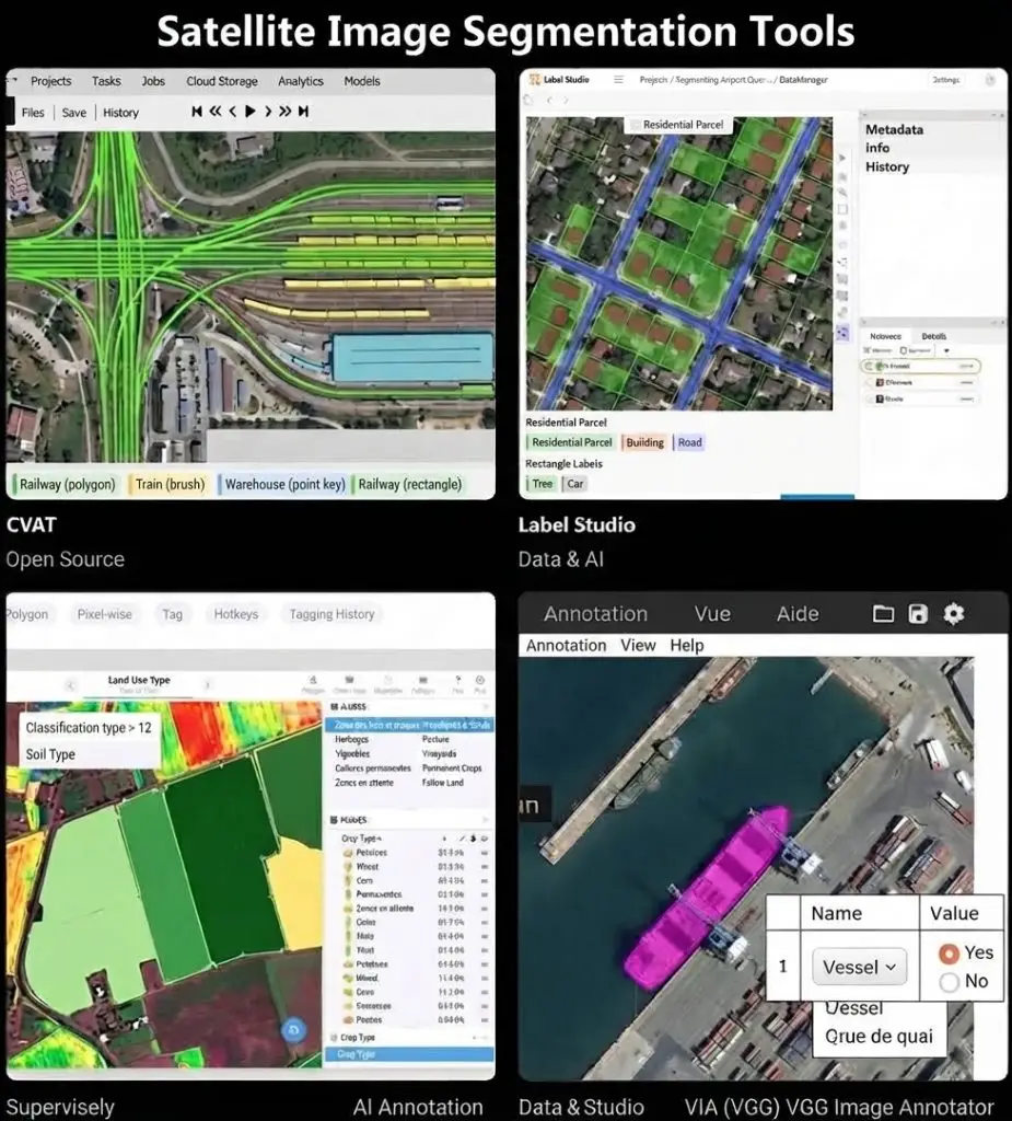
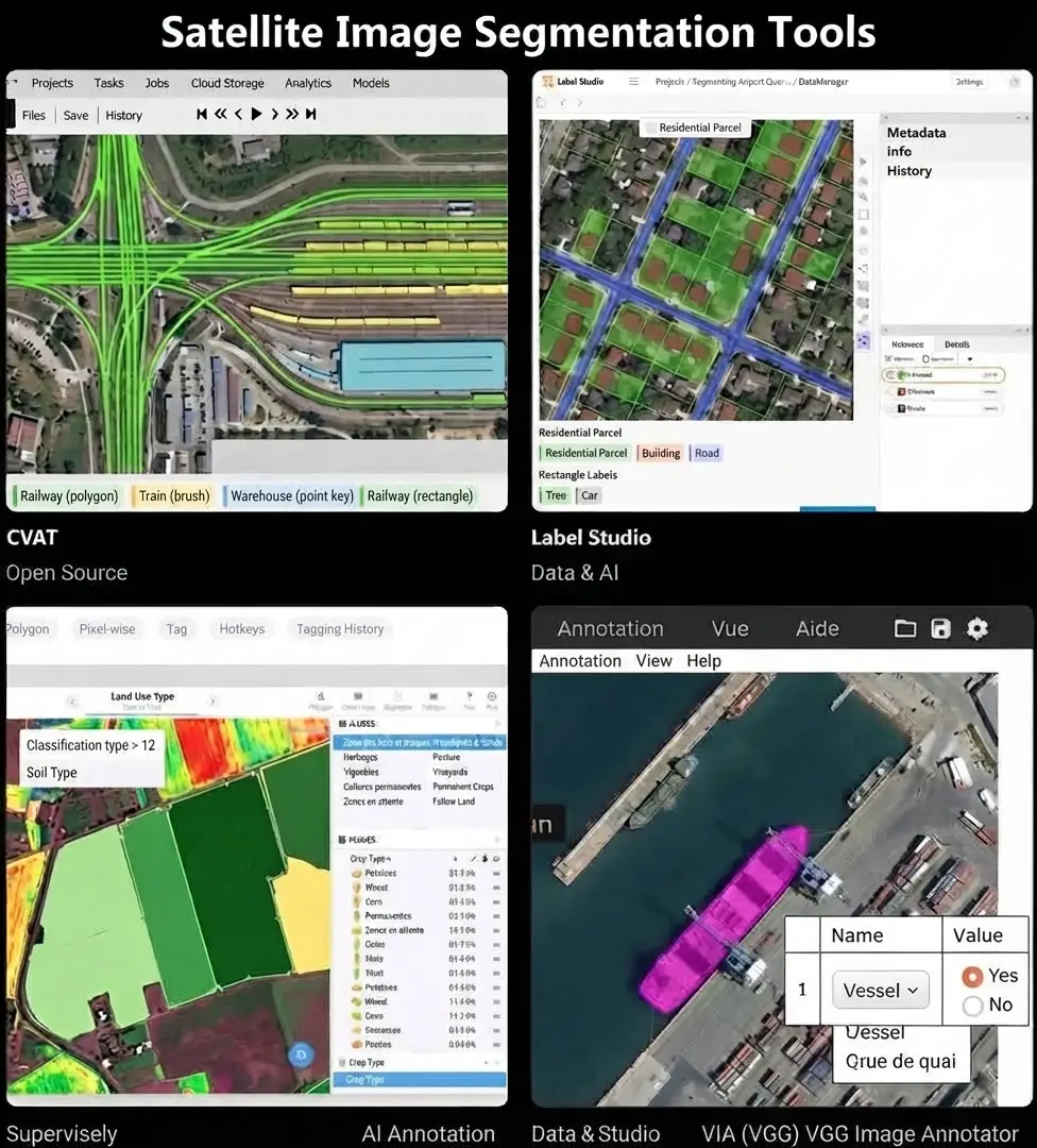
This difficulty explains the frequent recourse to composite arrangements. It dominates satellite image segmentation tooling. General-purpose annotation platforms are mature, ergonomic and designed for volume. They treat the image as a matrix of pixels and lose the georeferencing, which requires a conversion in and out. Geographic information systems preserve everything and are not designed for production, the absence of task distribution, tracking and quality control making multi-annotator work impracticable. Three different arrangements are used in practice. Export and reimport, which cuts the scene into non-georeferenced chips, annotates them on a general platform and registers the results afterwards, with the error risk that double conversion introduces. Extending a geographic system with production modules, which preserves georeferencing and requires development. And specialised geospatial platforms, fewer and more expensive, which handle both needs natively. One practical consequence follows. The choice of arrangement is a structuring decision taken at the outset and expensive to change, which justifies spending time on it before rather than after.Assistance functions
Four genuinely accelerate annotation. Their availability is a selection criterion. Threshold or region-growing selection, which delineates a homogeneous zone from a clicked point, particularly effective on water and uniform surfaces. Edge-assisted tracing, which follows the image gradients for the annotator to correct, which the boundary article flagged as improving both speed and regularity. Model pre-annotation, which proposes a complete segmentation for the annotator to correct, with the documented caveat that the annotator tends to validate what is proposed. And interactive segmentation tools based on recent general-purpose models, which delineate an object from a few clicks and work remarkably well on sharp objects, less well on the gradual transitions and low contrast objects that constitute the real difficulty. That last caveat deserves particular emphasis. These tools accelerate the easy work and leave the difficult work untouched, which improves average throughput without reducing the competence requirement.Quality control functions
Five distinguish production tooling from exploration tooling. Task distribution and progress tracking, without which multi-annotator production becomes unmanageable. Targeted double reading, which permits assigning certain cases to two annotators and comparing their results. Inter-annotator agreement measurement, which the preceding articles established as indispensable and which few tools compute natively. Review and commenting, which permits a checker to flag and correct without destroying the trace of the original. And a decision log, which records arbitrations on ambiguous cases and feeds the case library. One observation follows. Most free tools cover annotation and not those five functions, which explains why a serious project generally ends up either paying for tooling or developing a complement.Processing libraries
This technical layer underlies any satellite image segmentation chain. It is worth knowing its structure. Read and write libraries handle formats, projections and conversions, and they are the foundation almost everything rests on. Raster manipulation libraries offer a higher level interface, tiling, resampling and windowed computation. Vector libraries manipulate geometries, compute intersections and verify topology. And distributed processing libraries permit applying a computation to volumes exceeding a single machine. One recommendation follows. Mastering the first family is a prerequisite for any geospatial team, most project difficulties manifesting at that level as incompatible projections or lost metadata.Remote processing platforms
This development modifies the tooling. It deserves situating. Rather than downloading images to process them locally, these platforms execute the processing where the data sits and return only the result, a mechanism the Copernicus article detailed. Three notable advantages follow. Local storage need collapses. Setup time falls sharply. And reproducibility improves, a processing step described by a request being easier to replay than a local chain. Three real limits accompany it. Free quotas are exceeded by volume production. Dependence on a single supplier is a risk the previous series documented. And annotation remains local, these platforms processing data without offering an annotated production environment. One practical consequence follows for a provider. Processing can be remote while annotation stays on a workstation, which imposes a round trip whose organisation is part of a project’s engineering work.Organising multi-annotator work
This dimension conditions the choice of tooling. It is rarely examined upfront. Multi-annotator production requires four mechanisms individual annotation does not. Dividing the territory into assignable batches, with explicit treatment of batch limits, an object straddling two batches needing to be annotated once and not twice. Version management, a batch reworked after correction needing to retain the trace of its earlier state. Consistency between annotators, the same type of case receiving the same treatment whoever handles it, which presupposes a reference accessible during the work rather than a document consulted at the start. And resumption after interruption, a project spanning months and experiencing staff rotation. One practical consequence follows for a satellite image segmentation project. Those four mechanisms belong to tooling as much as to method, and a tool covering none of them requires reconstituting them by external means, which works poorly beyond a few people.Selection criteria
Six concrete criteria permit choosing between tools whose specifications look alike. End-to-end preservation of georeferencing, a disqualifying criterion for a geospatial project. Support for the real band count and dynamic range, sixteen-bit imagery not displaying correctly in a tool designed for eight bits. Production functions, distribution, tracking and control, which separate an exploration tool from a working tool. The ability to handle large scenes without loading them entirely. Interoperability, a tool producing a proprietary format locking in the corpus it served to build. And total cost, including licences, training and development of the necessary complements.The recommended satellite image segmentation arrangement
This configuration suits most projects. A geographic information system for exploration, data preparation and final checking, an environment where georeferencing and reference layers are naturally available. An annotation platform for production, chosen for its distribution and control functions rather than for its drawing functions. Processing libraries for conversions, batch preparation and result recomposition, developed once and reused across every project. And a standard training environment, the geospatial specificity sitting in the data rather than in the models. One observation usefully completes that arrangement. The self-developed part, conversions and recomposition, is a reusable asset whose value grows with the number of projects, which justifies investing in it from the first rather than improvising each time.What changes with volume
Tooling suited to ten thousand objects is not suited to a million. Three thresholds mark ruptures in satellite image segmentation. The first sits at the move from individual to team work, where distribution and tracking functions become indispensable. The second sits at the move from a single scene to a territory, where managing batches, overlaps and recomposition becomes a problem in itself. And the third sits at the move from an occasional project to recurring production, where automating conversions and tracing versions cease to be optional. One observation runs across those three thresholds. Each is crossed through engineering rather than through a change of tool, which explains why established providers in this field all develop a layer of their own that no market product replaces exactly. One strategic consequence follows. That layer is an asset whose value grows with the number of projects, and a provider that has built it holds a throughput advantage a new entrant takes time to close.The real cost of tooling
Licence price is rarely the dominant line. Five components make up the total cost of satellite image segmentation tooling. Licences, a visible line and generally modest against the others. Training, a geospatial tool requiring a learning curve that mastery of an ordinary vision tool does not shorten. Developing the complements, conversions, checks and automations the tool does not cover. Lost throughput during the ramp-up, a real line and never costed. And exit cost, a proprietary format or an over-specific chain making any later change expensive. One observation follows. A free tool half of whose functions must be developed costs more than a paid tool that covers them, and that comparison is rarely made because development is paid in internal time rather than in invoices.The interoperability question
One criterion deserves further development because it protects an investment over time. Three levels of lock-in occur and their severity differs. Format lock-in, a tool producing annotations in a proprietary structure, is handled by a conversion and it is the lightest level. Convention lock-in, a tool imposing a way of representing objects others do not share, is harder since it affects semantics rather than only encoding. And chain lock-in, an organisation having built its processes around a particular tool, is the heaviest since it makes a change expensive independently of the data. One practical consequence follows. Verifying export to a standard format handles the first level, documenting conventions independently of the tool handles the second, and only architectural discipline handles the third.Choosing tooling in practice
Five steps lead to a defensible choice in satellite image segmentation. They avoid adoption by default. Establish the expected volume and annotator count, which determines which of the three thresholds above will be crossed. List the disqualifying requirements, georeferencing, band count and scene size, which immediately eliminate a share of candidates. Test the remaining candidates on real data rather than on a demonstration, a tool behaving differently on a multi-gigabyte scene than on the vendor’s example. Cost the complements to be developed for each candidate, a line that frequently inverts the ranking established on licences. And verify the exit, ensuring a corpus produced with the tool can be exported to a standard format without loss. That last step is the most neglected and the most protective. It guarantees that a later change of tooling will not destroy accumulated work, which makes reversible an otherwise committing decision.What tooling does not solve
It is regularly presented as an answer to difficulties it does not address. A tool does not fix a nomenclature, a decision the corresponding article presented as founding. A tool does not settle a boundary convention, a question the previous article identified as determining the quality ceiling. A tool does not replace ground knowledge, which the class articles showed constantly necessary. And a tool does not improve a noisy reference, assistance functions learning to reproduce what they are shown. Those four limits share a common property. All belong to documented human decisions, and a project seeking in tooling the answer to these questions spends a budget on a problem it has not identified.What this survey teaches
One cross-cutting observation deserves closing this examination because it explains a singularity of the field. Satellite image segmentation tooling is markedly less mature than ordinary computer vision tooling, and that immaturity has a structural rather than a temporary cause. Three reasons explain it. The market is narrower, which limits vendor investment. The requirements are more numerous, georeferencing, projections and large images adding constraints a general tool does not have to handle. And the needs are more heterogeneous, a forest mapping project and an urban monitoring project not having the same ideal tooling. Two consequences follow for a provider. The first is that tooling engineering is part of the job rather than a preliminary to dispose of, which shifts an expected competence towards development. And the second is that this immaturity is a barrier to entry. A new entrant cannot buy a complete chain, it must build one, which protects the actors that already have.The build decision inside the tooling question
One satellite image segmentation decision recurs within every arrangement described above, and it is usually taken by drift rather than by choice. Every project ends up developing something, and the question is what. Three categories are worth building. Conversion and preparation, because they are specific to the data and reused on every project. Quality checks tied to the project’s own conventions, because no generic tool knows them. And recomposition and delivery, because the output format is often client-specific. Three categories are rarely worth building. An annotation interface, because mature ones exist and the effort to match them is substantial. A geographic viewer, for the same reason. And model training infrastructure, where standard environments are adequate and the geospatial specificity sits in the data. One test separates the two lists. If the component encodes something particular to the organisation’s way of working, building it captures that knowledge; if it encodes something generic, building it duplicates work others have already done better. That test is worth applying explicitly, because the drift usually goes the wrong way: teams build interfaces, which is visible and satisfying, and improvise conversions, which is invisible and accumulates cost every project.Common mistakes
These failures recur often enough that naming them is usually enough to avoid them.- Using a general-purpose annotation platform without handling the loss of georeferencing.
- Choosing a tool on its drawing functions rather than its production functions.
- Neglecting support for the real dynamic range of the data.
- Loading a whole scene into memory rather than reading it by windows.
- Adopting a proprietary format that locks in the corpus.
- Expecting assistance tools to handle the difficult cases.
- Neglecting quality control functions in a tooling choice.
- Improvising conversions each project rather than industrialising them.
- Discovering a remote platform’s quotas after sizing a production run.
- Seeking in tooling the answer to a question of convention.
- Comparing tools on licence price rather than on total cost.
- Sizing tooling without anticipating the move to scale.