The question of what a satellite image segmentation costs looks simple and it calls for a structured answer, because the line most projects budget first is rarely the one that dominates.
This article breaks down the cost of such a project, sets out what makes it vary and what genuinely reduces it. It extends the article on boundary precision.
The six lines of a satellite image segmentation budget
Separating them conditions any realistic estimate. Image acquisition, whose cost runs from nil to considerable depending on resolution and licensing regime. Preprocessing, geometric and radiometric correction, tiling and preparation, a modest line and rarely a nil one. Annotation, producing the training corpus, which generally dominates the whole. Validation, building an evaluation set and the statistical analysis, distinct from the previous line by its quality requirement. Development, designing and training the model and the processing chain. And operation, what it costs to run the arrangement once built. One important observation runs across those six lines. Only the first varies with modality and data regime, which explains why two projects with very different imagery can carry comparable budgets.What acquisition costs
Three regimes are clearly distinguishable. Their choice depends on a resolution constraint rather than on a financial trade-off. Public decametric imagery is free and abundant, with a deep archive, which makes this line nil for a land cover or vegetation monitoring project. Commercial metric and sub-metric imagery is priced by scene, by subscription or by tasking, with an order of magnitude between an archive scene and a guaranteed tasked acquisition. And airborne imagery is priced by mission, with a substantial fixed cost and a low marginal cost per unit area, which makes it economical over wide zones and expensive over small ones. One further observation deserves stating on licensing. The usage regime, internal, redistributable or commercialisable, varies the price considerably and above all conditions what a project can deliver, a constraint the market article in the previous series flagged as sometimes invalidating a business model.What annotation costs
This line generally dominates a budget and it is the most poorly anticipated. Six factors determine it in satellite image segmentation. They multiply rather than add, which explains the considerable dispersion of estimates. The geometry required, a point costing a fraction of a precise contour and an approximate contour a fraction of a pixel-accurate one. Object density, a dense urban scene containing thousands of objects where a rural scene contains a few dozen at equal area. The number of classes and their separability, each ambiguous distinction requiring arbitration on a share of cases. The expertise required, recognising common objects and identifying species or materials not drawing on the same profiles. The modality, the radar article having shown that reading requires training and that throughput there is lower. And the boundary precision requirement, which the previous article identified as the principal cost lever, the relationship not being linear.The pilot, the only reliable estimate
This method turns six factors into a defensible figure. It remains little practised. The principle is to have a small representative sample annotated by the people who will produce the corpus, under the project’s real conditions. Three usable pieces of information follow. A measured throughput, expressed in units per hour, replacing an estimate with a fact. The list of ambiguous cases encountered, which feeds the case library. And the agreement rate between annotators, which bounds achievable performance as the preceding articles established. A fourth useful piece of information deserves flagging. The pilot reveals underestimated configurations, a project looking simple on typical cases and proving expensive on the real cases of a given area. That operation takes only days on a project spanning months. Omitting it is the commonest cause of overrun, and its cost is negligible against what it avoids.What validation costs
This line is distinct from annotation. It is regularly absorbed into it by mistake. Three distinct components make it up. Building a reference sample under a documented design, which is annotation at a higher standard. The statistical analysis, a competence distinct from annotation. And where applicable the field survey, the most expensive and least compressible component. Its sizing follows directly from the number of classes and the precision sought, a rare class requiring stratification to obtain sufficient numbers. One recommendation follows and it is frankly counterintuitive. Concentrating expert effort on a restricted evaluation set is better than spreading it evenly across a wide training corpus, the reference quality bounding what any measurement can establish.The line nobody budgets
This cost appears after delivery. It is almost never anticipated. A model degrades. Sensors evolve, the ground changes and processing chains are updated, which alters performance with no signal announcing it. Three distinct elements make up that recurring line. Periodic revalidation on a maintained reference corpus. Corpus extension when the product covers new geography, which the AI article in the previous series showed does not transfer. And harmonisation when sources change, one satellite generation succeeding another. One important commercial consequence follows. Any satellite image segmentation project carries an operating cost and not only a build cost, and a proposal showing only the second understates what the client will actually spend.What genuinely reduces cost
Five levers work in satellite image segmentation. They are not the ones instinctively pulled. Narrowing the question. A product answering one question precisely costs a fraction of one answering several approximately, and it is generally more useful. Reducing the number of classes. Each additional class costs in annotation, costs in validation and degrades per-class performance, as the nomenclature article established. Adjusting the precision requirement. The previous article showed this lever is the most powerful, the relationship between precision and cost being more than proportional. Exploiting an existing reference. A parcel layer, a building reference or a road network turns production into verification, which divides the cost where those sources exist. And using pre-annotation with discernment, reserving it for training and proscribing it for the evaluation reference, a caveat the preceding articles established.The false economies
Four apparent reductions cost more than they save. Reducing the evaluation corpus, which saves annotation and produces a figure nothing supports, invalidating any claim about the product. Taking an existing database as ground truth without measuring its discrepancy, which caps achievable accuracy at that database’s own and imports its nomenclature. Skipping the pilot, which saves days and produces conventions discovered mid-production, requiring rework. And omitting documentation, which saves hours during production and makes the corpus unusable for any later claim, unextendable for a second project and indefensible in an audit. Those four reductions share the same structure. Each saves a visible cost now and creates an invisible one later, a configuration that makes them attractive and wrong.Billing models
Their choice redistributes risk between the parties. Four modes coexist in satellite image segmentation. Billing per annotated unit, object or square kilometre, is the most transparent and it requires a precise definition of the unit, an urban square kilometre and a rural one having nothing in common. Billing by time spent is the fairest on work whose difficulty is poorly known and it requires a relationship of trust, the client not controlling throughput. A fixed project price gives the client full visibility and it transfers estimation risk to the provider, which presupposes a prior pilot on pain of loss. And a capacity contract, reserving a production volume over a period, suits a recurring need and smooths the load on both sides. One recommendation follows. A pilot billed by time followed by production at a fixed price combines the advantages, the pilot removing the uncertainty that made the fixed price risky and the fixed price giving the client the visibility they seek.Comparing two proposals
Six questions make two offerings comparable. A headline price rarely is. What geometry and what contour precision, the gap between a point and a pixel-accurate contour being substantial. What quality control, and over what proportion, a second reading changing both cost and outcome. Is the evaluation corpus included or separate, a proposal excluding it appearing cheaper and delivering less. What documentation accompanies delivery, composition and conventions determining reusability. Who arbitrates ambiguous cases and how those decisions are recorded. And what becomes of an unannotable case, an exclusion log distinguishing a known gap from an invisible one. A proposal answering those six can cost more per unit and less per project, which is the only relevant comparison.The comparative cost of modalities
This cross-cutting reading informs a sourcing decision. Multispectral optical presents the lowest acquisition cost and the lowest annotation cost, the competence being widely available. Very high resolution optical raises acquisition and raises annotation through the object density it reveals. Radar presents moderate acquisition and more expensive annotation, for the competence reasons the corresponding article set out. And hyperspectral presents the highest cost on both lines, over the smallest areas. One counterintuitive observation follows. Ranking projects by total cost does not follow ranking by acquisition cost, a hyperspectral project over a few square kilometres potentially costing less than a multispectral project over a whole region.Orders of magnitude by project type
This gradation helps scope a satellite image segmentation project. Any figure nonetheless depends on the six factors set out above. An exploratory project, one region, one modality and an existing nomenclature, is measured in weeks and its dominant line is human time rather than data or infrastructure. An operational product over a defined territory is measured in months, annotation and validation together representing most of the effort. A multi-region product is measured in a year or more, geographic extension requiring corpora that do not transfer. And a product entering an institutional or contractual frame adds the documentation and traceability the previous series detailed, a modest cost when planned and a heavy one when retrofitted. One observation runs across those four profiles. The ratio between cost and area covered falls sharply with scale, the fixed costs of design and convention spreading over more production, which makes a small project expensive per unit and a large one economical.Estimating a satellite image segmentation project in practice
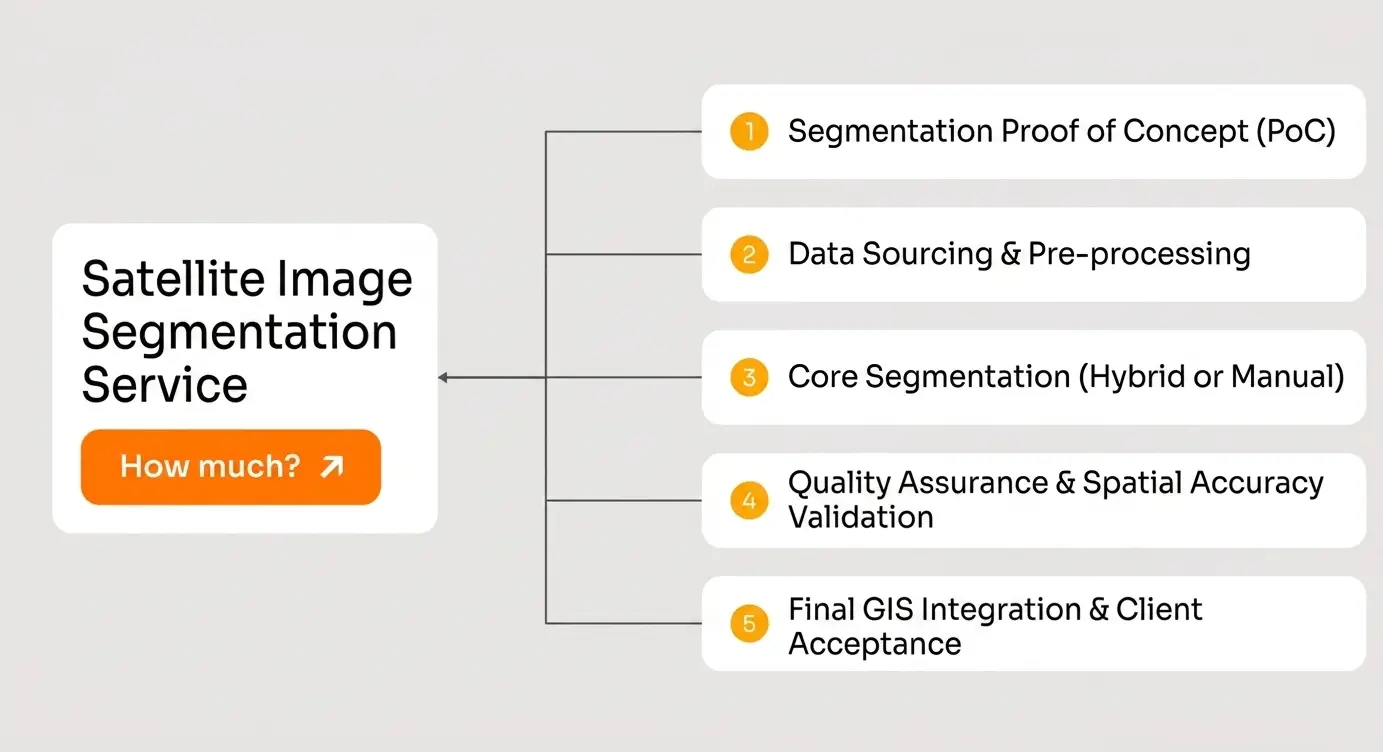
Five steps produce a defensible rather than an optimistic estimate. Establish the operational question and the decision it informs, which determines the nomenclature and the resolution needed. Verify availability and cloud cover over the area and period, a constraint that can invalidate a project before any budget. Run an annotation pilot, the only reliable method as the corresponding section set out. Size the validation according to the number of classes and the precision targeted. And add the operating line, the one most proposals omit.Build or outsource
This satellite image segmentation decision is often taken implicitly. It deserves examining explicitly. Three options are open to a project needing annotated data and they differ by more than price. Building internal capability suits a durable and recurring need, domain knowledge accumulating. It costs in recruitment, training and management, and it becomes economical above a sustained volume. Outsourcing suits an intermittent or peaked need, a configuration the insurance article in the previous series described for post-event work. It costs a margin and it buys throughput, method and the option to stop. And assembling from public sources costs least and imports a nomenclature, a granularity and a date the project did not choose, which caps what the result can support. One factor decides between the first two more reliably than volume. If annotation conventions are stable and the organisation will work this domain for years, internal capability compounds. If conventions change with each client or the need arrives in bursts, external capacity is the cheaper structure even at a higher unit rate.Presenting a budget to a client
Four framings allow a budget whose principal line is annotation to be accepted. State the image cost explicitly. A client who knows the imagery is free or marginal understands why the rest carries the total, and a proposal leaving this implicit invites the wrong comparison. Separate build from operation, which prevents a competitor appearing cheaper with an incomplete figure whose gap surfaces a year later. Show what each line buys in terms of possible claims, validation being not a quality gesture but what permits a figure to be stated. And offer the pilot as a priced first step, which turns a debate about estimates into a measurement, costs days and lets both parties commit on facts.The spending calendar
Pacing matters as much as the total in satellite image segmentation. This cash-flow observation completes the estimate. Acquisition and infrastructure costs are spread and variable, growing with use. Annotation costs are concentrated at the start, before any result exists, which is the hardest moment at which to justify a spend. Validation costs arrive at the end of the build, when the budget is already committed. And operating costs arrive after delivery, when the project is formally closed and nobody owns them. That distribution explains a common failure. The two lines determining whether a product can be defended, annotation and validation, fall at the two moments when a budget has least flexibility, which explains why they are precisely the ones cut. One recommendation follows. Showing all four timings in the proposal avoids the unfavourable negotiation that occurs when an unanticipated cost arrives at the worst moment.Why the cheapest input carries the heaviest line
This cross-cutting observation names the inversion this article describes. In most data industries, acquiring the raw material dominates the budget and processing it costs comparatively little. Satellite image segmentation inverts that ratio. The imagery is free or marginal, and what it costs to know what it shows exceeds everything else. Three consequences follow for how a budget is defended internally. A budget dominated by annotation is not a badly designed budget. It is what a correct budget looks like in a sector where the input is free, and a proposal where annotation is a minor line is more likely incomplete than efficient. The lines that can be cut with no visible short-term consequence are precisely those determining whether the result can be defended, which makes budget discipline here a matter of resisting a temptation rather than finding savings. And the asset remaining at the end of the project is the documented corpus rather than the model, the latter being destined for replacement while the corpus continues to describe what was on the ground.What a corpus is worth beyond the project
One satellite image segmentation accounting observation deserves making, since it changes how an annotation spend should be classified. An annotated corpus behaves like an asset rather than a consumable, and it does so more strongly in satellite image segmentation than in most fields. Three properties support that. The underlying imagery does not expire, the open archive remaining freely accessible indefinitely, which means a corpus built on it can be re-examined years later. The ground truth it records describes what was there, which no later model supersedes. And a documented corpus extends, a second project adding to it rather than restarting. Two conditions gate those properties, and both are cheap. The documentation must exist, since an undocumented corpus loses its value as the people who built it move on. And the reference must be stored separately from the model outputs, since a project storing predictions rather than observations has stored something that ages. One practical consequence follows for how a budget is presented. An annotation line defended as an expense invites cutting; the same line presented as building a reusable asset invites a different conversation, and the second framing happens to be the accurate one.Common mistakes
These failures recur often enough that naming them is usually enough to avoid them.- Equating free data with a cheap project.
- Budgeting acquisition and development while omitting annotation and validation.
- Estimating annotation without a pilot.
- Absorbing validation into the annotation line.
- Presenting a build cost without an operating cost.
- Discovering a licence restriction after building a business model.
- Reducing the evaluation corpus to save money.
- Comparing two proposals on unit price rather than on scope.
- Adding classes without counting their annotation and validation cost.
- Setting a precision requirement without measuring its budget effect.
- Billing per square kilometre without distinguishing density contexts.
- Accepting a fixed price with no prior pilot.