

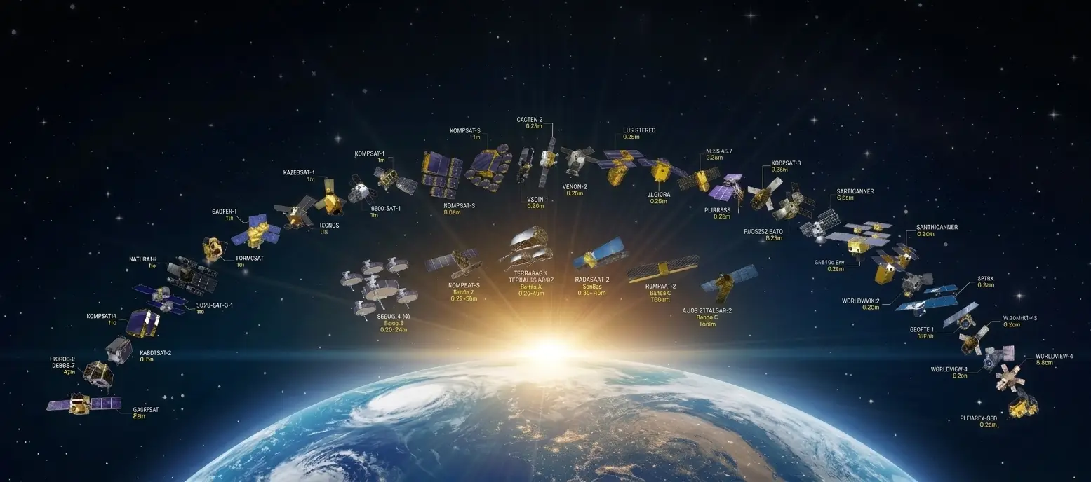
This series on Earth observation closes on a forward-looking question, and the exercise calls for one precaution. The fourteen preceding articles rested on verifiable facts; this one explicitly separates what is under way from what is speculative, and it refrains from the numerical forecasts the market article set aside.
It extends the article on why Earth observation projects fail.
What is already under way in Earth observation
Five developments rest on investments already committed.
Their continuation is therefore not conjecture. Constellation densification continues, the NewSpace article having shown the twentyfold fall in the cost of reaching orbit is settled and that its effects are still unfolding.
Sensor diversification continues too, radar having crossed the miniaturisation threshold and hyperspectral crossing it now, following the gradation the same article described.
The shift of value towards decision-ready products is under way, the market article having shown it is the dominant response to the pricing pressure exerted by free data.
European institutional structuring is under way, the programmes the security article described having published timetables.
And onboard processing is developing, the near real-time article having set out its logic and its limits.
The Earth observation bottleneck that does not close
One constant runs through those five developments.
It deserves stating before any forward view. None of them produces additional ground truth. The NewSpace article formulated the paradox: every mechanism lowering the cost of imagery leaves untouched the cost of knowing what the imagery shows.
Three structural reasons explain that persistence. Reference production has a cost that grows with volume, unlike software, which the startups article showed decisive for where capital goes. It depends on local and sectoral knowledge that does not transfer. And it requires human work that productivity gains reduce without removing.
One forward consequence follows. The gap between what is observable and what is interpretable will continue to widen for as long as those three properties hold, and nothing in the developments under way alters them.
That observation is probably the most reliable prediction this series can make, because it rests on a structural property rather than on an extrapolation.
Foundation models and their trajectory
This development dominates the field’s discourse and it calls for a measured examination.
The AI article showed these models reduce the annotation need for initial training without removing it, and that evaluation remains entirely dependent on it.
Three developments appear probable. These models will continue improving, the investments committed being considerable. Their specialisation by modality will progress, radar and hyperspectral currently having markedly fewer corpora than optical. And their evaluation will standardise, the same literature having noted the absence of unified evaluation among the field’s difficulties.
Two limits appear durable and well established by contrast. The documented geographic bias is not corrected by model progress but by building corpora where they are missing. And evaluation will continue to require an annotated reference, which is a logical rather than a technical property.
One practical consequence follows. A project betting on future model improvement to avoid building a reference is deferring a cost it will incur regardless.
What regulation will change in Earth observation
This non-technical development will alter method requirements.
The sovereignty article set out a regulatory framework in preparation whose effective date is fixed and whose final form remains open.
Three effects appear probable. Documentation and traceability requirements will formalise, a movement the medical clusters documented in a neighbouring sector. Procurement criteria will encode a definition of sovereignty, a choice the corresponding article presented as the field’s open question. And the compliance burden on operators will rise, the only uncertainty concerning its scale.
One less obvious effect deserves flagging. Formalising requirements favours actors already satisfying them and penalises those who will have to adapt, which is a redistribution of positions independent of technical quality.
Earth observation uses that appear to be developing
Four domains show converging signals.
Verification, in all its forms. The climate article described comparing declarations against observations, the insurance article described claim verification, and the carbon market section described verifying claims. Those three share one mechanism: an independent measurement set against an assertion.
Infrastructure monitoring, which the security article placed among the accessible segments and whose operators are often companies rather than administrations.
Temporal uses, the constellations article having shown frequency permits approaches single-image analysis did not.
And local adaptation, which the climate article described as operating at a scale where ground truth is more accessible.
One observation runs across those four domains. All rest on change detection rather than on describing a state, which confirms the direction the constellations article identified.
What might not happen
An honest forward view sets out the announced developments whose realisation remains uncertain.
Sector consolidation is anticipated by analysts and it is not established. The startups article noted it is expected without being guaranteed, and its scale will determine the market’s structure.
Unification of regulatory frameworks is possible and so is its alternative, the sovereignty article having noted the text in preparation will either replace national regimes or add to them.
Generalisation of onboard processing runs into the traceability constraint the near real-time article set out, and its adoption will depend on how that constraint is handled.
And continued falls in orbital access costs depend on programmes about which the NewSpace article recalled the field’s habit of delays.
Those four uncertainties share a notable feature. They concern pace and form rather than direction, which makes them trackable without being predictable.
Technologies whose effect remains to be established
Three developments are frequently cited in Earth observation.
Their actual bearing deserves examining with caution.
Multimodal models combining image and text hold real interest and run into the scarcity of image-text pairs the AI article documented. Their progress will therefore depend on building described corpora rather than on model architecture.
Synthetic data attracts expectations the corresponding article tempered: it can feed training and it cannot ground an evaluation, a logical limit no technical progress lifts.
And annotation automation through pre-annotation is genuinely progressing, with the documented caveat that the annotator tends to validate what is proposed, which moves the work towards checking rather than removing it.
Those three share a property. They reduce the unit cost of annotation work without altering the necessity of an independent reference, which shifts the field’s economics without changing its structure.
One practical consequence follows for an Earth observation provider. Adopting these tools improves competitiveness; presenting them as making annotation obsolete would be inaccurate and would rebound quickly.
What the Earth observation sector will have to resolve
Four structural difficulties remain open.
Their treatment will determine part of the field’s evolution. Coverage of under-documented regions, which research established and which the sector’s current functioning sustains rather than corrects, the AI article having set out the cumulative mechanism at work.
Harmonisation between heterogeneous sources, which the constellations article showed becomes the norm as satellite generations succeed one another and as projects combine several suppliers.
Standardisation of validation practice, the corresponding article having shown good practices have existed in the literature for a long time and remain little applied.
And orbital sustainability, which the NewSpace article flagged as conditioning the model and as escaping any individual decision.
Those four share a feature. None is resolved by an isolated technical innovation, each requiring coordination between actors or an external constraint, which makes their timing uncertain.
One practical consequence deserves stating. A project cannot wait for their resolution and it can protect itself from their effects, by documenting its own coverage, treating source heterogeneity explicitly and applying existing validation practices rather than waiting for them to be imposed.
What will not change
This observation runs through the fifteen articles of this series.
The developments described concern sensors, costs, frameworks and models. They do not concern what constitutes a project’s real difficulty.
Convention decisions will remain human and documented, no technical development stating where a class begins.
Reference quality will remain the limiting factor, the validation article having shown it bounds measurable accuracy.
Geographic representativeness will remain a condition of what a product can claim, research having documented the bias of existing corpora.
And documentation will remain required and irrecoverable after the fact, a principle every cluster in this series established.
That permanence has a practical consequence. Investment in those four points is independent of whichever technological scenario prevails, which makes it the safest allocation in an Earth observation project.
What these trends imply for an Earth observation project
Four immediately applicable recommendations follow.
Retain the original data, the Copernicus article having shown the archive is an asset developments do not devalue.
Document corpus composition during construction, which the regulatory requirements in preparation will make necessary and which nothing allows to be reconstructed afterwards.
Design evaluation corpora as maintained resources rather than one-off constructions, performance drift being documented and monitoring becoming a requirement.
And invest in under-served modalities and geographies, the AI article having shown that is where scarcity sits and the startups article having shown capital does not go there.
What these trends imply for an Earth observation provider
Three commercial consequences emerge from this entire series.
The first is that a ground truth provider’s position strengthens rather than erodes. The developments under way increase imagery volume without increasing interpretive capacity, which raises the relative scarcity of what is missing.
The second is that method becomes a measurable differentiator. Documentary requirements are rising under regulatory pressure and under acquirer scrutiny, and a provider already satisfying them is ahead of a competitor who will have to comply.
And the third is that specialisation by domain and by geography is worth more than versatility, depth accumulating through projects and not being caught up by a funding round.
What this means for a corpus built today
One practical question closes the forward view: whether a corpus built now retains its value as the field evolves.
Three properties determine that, and all three sit within a project’s control.
Whether it is documented. An undocumented corpus loses value as the people who built it move on, since nobody can establish what it covers or how its conventions were fixed.
Whether it is tied to a durable source. The Copernicus article showed the open archive does not expire and remains freely accessible, which means a corpus built on it can be re-examined indefinitely, unlike one built on imagery whose licence or supplier may not persist.
And whether its reference is separable from the model it served. A corpus recording what was on the ground survives every generation of model; one recorded only as model outputs does not.
That third property is the one most often lost. A project storing its predictions rather than its observations has stored something that ages, where the observation itself does not.
Earth observation indicators worth tracking
Six allow the sector to be followed without depending on announcements.
The rate at which annotated corpora are published on currently underrepresented regions, which would indicate a correction of the documented bias.
Actual adoption of validation requirements by institutional buyers, which the validation article showed to be little applied.
The criteria adopted in European public procurement, which will settle the definitional question the sovereignty article set out.
The release of open corpora by commercial operators, which the market article showed to be a standardisation strategy.
Rapprochements between layers of the value chain, which indicate where actors locate value.
And the arrival of new free public missions, each shifting the boundary between what commercial suppliers can sell and what the free resource covers.
The calendar of coming years
Four milestones structure the period ahead and they are tracked rather than forecast.
The European regulatory framework, whose effective date and open question of form the sovereignty article recalled.
The next European budget framework, which will settle funding for the governmental observation service the security article described.
The awards of the capability programmes under way, which will indicate which actors the criteria actually favour.
And the arrival of new public missions, each altering the boundary between free and commercial offerings the market article set out.
One recommendation runs across those four milestones. A project or a provider gains from knowing their calendar without pegging decisions to it, these processes being accustomed to slippage and the method investments described above remaining relevant whatever their outcome.
What fifteen articles on Earth observation will have established
The fifteen converge on a single finding.
Earth observation presents a rare configuration: a massive resource, free and accessible to all, mature and largely open tooling, available and documented models.
In that configuration no advantage can rest on data access, since everyone holds the same access. The Copernicus article showed that symmetry is unusual and that it reorganises everything downstream of it.
Advantage therefore rests on interpretation, and interpretation rests on ground truth research describes as scarce, geographically concentrated and expensive to produce.
That is this series’ central finding and it is consistent with the one the medical imaging clusters established in a domain whose data regime is the opposite. In both cases the limiting factor is neither the data nor the models but the reference allowing them to be evaluated.
That convergence between two sectors with opposite constraints suggests it is a general property of exploiting data through machine learning rather than a sectoral peculiarity.
A reading that goes beyond Earth observation
The central finding of this series is not specific to it.
The medical imaging cluster concerned a domain whose data regime is the opposite: scarce imagery, expensive to obtain, legally constrained. This one concerns a domain where imagery is massive, free and openly accessible.
Those two configurations, as far apart as possible, produced the same finding. The limiting factor is neither the data nor the models but the reference allowing them to be evaluated, and that reference is scarce, expensive and geographically concentrated in both cases.
Three readings follow. That property appears general to machine learning exploitation rather than particular to a sector. It explains why the same difficulties recur in related forms across domains with no apparent connection. And it suggests that competence in building documented references transfers between domains better than technical competence does.
That third reading has practical reach. A provider having established a rigorous method in one domain holds a transferable asset, where tooling or a model is not, which is probably the most durable lesson of these two series.
What a project should decide now
Four Earth observation decisions are worth taking today rather than deferring, because each becomes more expensive later and none depends on which scenario prevails.
Whether to retain original data or convert it. The Copernicus article showed the archive holds value that conversions destroy, and storage is cheaper than reacquisition.
Whether to document corpus composition during construction. Nothing reconstructs it afterwards, and the regulatory direction described above makes it increasingly likely to be requested.
Whether to build the evaluation set separately, on distinct areas and periods. That choice determines whether any performance figure means anything, and it cannot be made retrospectively.
And whether to treat the reference corpus as an asset to maintain or as a deliverable to produce once. Drift is documented, monitoring is becoming a requirement, and a corpus designed to be maintained costs marginally more than one designed to be delivered.
Those four share a property that makes them unusual. Each costs a small amount at the moment of decision and a large amount to reverse, and none of them is a bet on any particular future.
Common errors of reading
These misreadings recur often enough that naming them is usually enough to avoid them.
- Expecting model progress to correct a geographic corpus bias.
- Deferring reference building on the expectation of future improvement.
- Confusing a development under way with an announced one.
- Neglecting the regulatory calendar and its effects on method requirements.
- Assuming onboard processing will generalise without resolving traceability.
- Investing in already well served modalities rather than in missing ones.
- Designing an evaluation corpus as a one-off resource.
- Converting original data on the assumption the archive will lose value.
- Betting on versatility where depth by domain is what is valued.
- Taking a numerical market forecast for usable information.
- Presenting automatic pre-annotation as making annotation obsolete.
- Waiting for the sector’s structural difficulties to resolve rather than protecting against them.
Why this conclusion is worth stating plainly
A closing observation concerns how this Earth observation finding sits against the field’s own discourse.
The sector measures its progress in satellites launched, resolutions achieved and revisit rates improved. Those are real achievements and they are the ones that attract investment, coverage and attention.
This series arrived somewhere else. Across fifteen articles examining markets, constellations, climate, security, insurance, open data, artificial intelligence, sovereignty, latency, startups, validation, costs and failures, the constraint that recurred was never the imagery.
Two things follow from stating that plainly rather than diplomatically.
A buyer who understands it asks different questions, and the questions are answerable. What ground truth exists, over what geography, obtained how, and with what measured disagreement. Those four determine what a product can claim, and they are rarely asked.
And a provider who understands it holds a position the sector’s trajectory strengthens rather than erodes. Every satellite launched widens the gap between what can be seen and what can be interpreted, which is an unusual thing for a market to do to a supplier.
That is the whole of these fifteen articles in one sentence, and it is worth carrying into any conversation about this field.
What to take away
Five developments are under way in Earth observation, constellation densification, sensor diversification, the shift towards decision-ready products, European institutional structuring and onboard processing, and none produces additional ground truth.
Three readings emerge. The gap between what is observable and what is interpretable will continue to widen for as long as reference production retains its three properties, cost growing with volume, dependence on local knowledge and a requirement for human work, none of which the developments under way alter. Foundation models will further reduce the annotation need for training without removing the need for evaluation, which is a logical rather than a technical property, meaning a project deferring reference building defers a cost without avoiding it. And regulatory formalisation of documentation requirements will redistribute positions independently of technical quality, favouring actors who already satisfy them.
For the general frame of this series, the article on Earth observation sets out the sector panorama. For the concrete causes of failure these trends do not eliminate, the article on projects that fail lists them.
To explore delivery arrangements, supported formats and applicable control mechanisms, see our dedicated page on geospatial data processing. And if you are preparing a corpus intended to outlast a generation of models, let us discuss your project.


